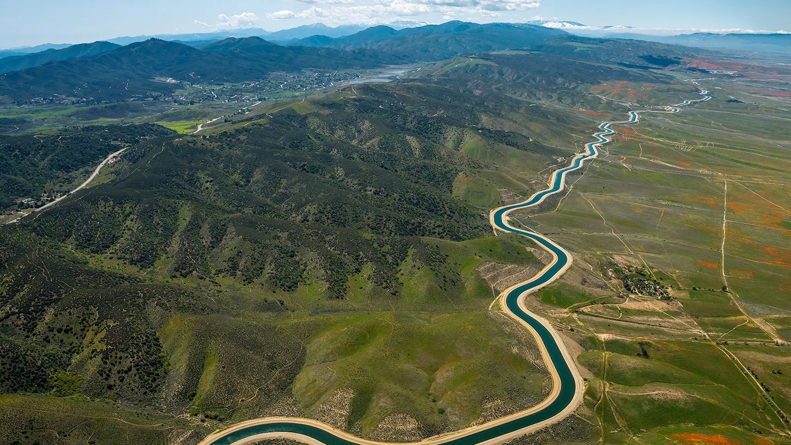
Aerial images help when a roof is broad, crowded with equipment, or difficult to reach from the building. We use drone imaging to document visible surfaces, transitions, and areas that need a closer hands-on look. The images become part of an inspection record, not a verdict on hidden layers. We connect what the camera shows with roof access, interior leak reports, assembly records, and field observations before recommending work.
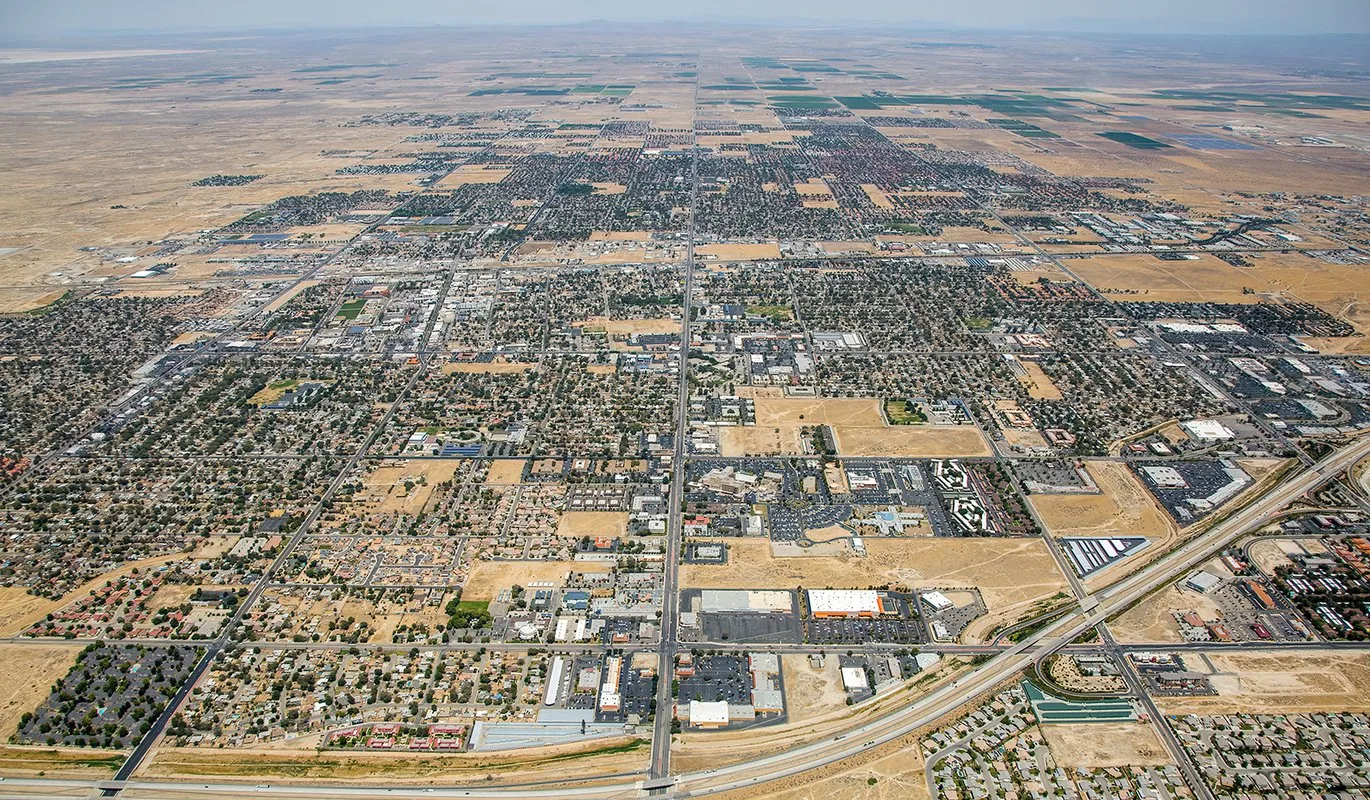
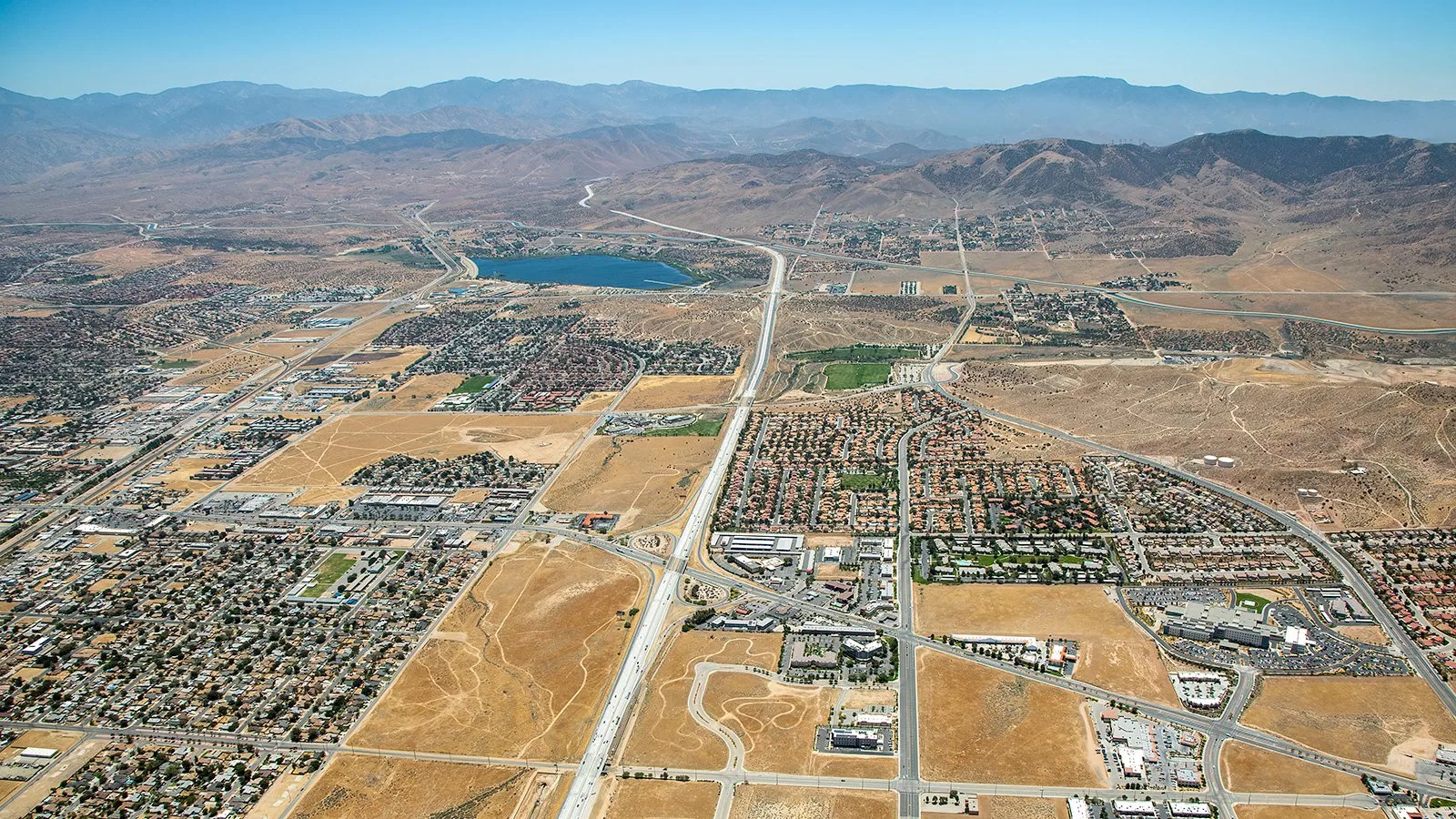
Lancaster’s Fox Field industrial corridor covers a broad area west of State Route 14 along Avenue H and includes medium and light industrial planning uses. Large industrial roofs can be difficult to understand from a single ladder point. A drone pass can help map sections, equipment clusters, and apparent damage across the roof, then direct a closer review where the imagery raises a real question. Our Fox Field industrial corridor service area includes commercial properties with varied roof layouts and access needs.
Use the Camera to Find the Next Inspection Point
A drone helps when the question is about coverage, comparison, or access. High-angle images show equipment clusters, surface patches, and roof sections meeting at walls or additions. They can identify an edge or penetration for a hands-on check. We plan the image set around the owner’s question.
Fox Field is a medium/light industrial planning area. Aerial images can label roof sections and give the facility contact and roofing crew a common orientation. We do not infer the assembly from surface color or apparent age; the camera records appearance, while inspection establishes condition.
Dated images may show a changed patch, added equipment, or debris near an outlet. We verify differences in the field before recommending repair. Light, moisture, dust, and camera angle can make an unchanged area appear different.
Plan the Flight Around People and Operations
Before imaging, we confirm the property boundary, roof access, tenant activity, and nearby people or equipment. The building contact identifies loading areas, restricted operations, and privacy expectations. We coordinate flight path and timing; wind, visibility, battery limits, and launch or recovery points may change the image set.
Strong wind, reflective surfaces, or overhead obstructions can limit a safe view. If the camera cannot capture a detail clearly, we note the gap and recommend another inspection method. A safe ground or roof access plan comes first.
We tell building staff where the drone will launch and recover and which roof sections are included. If operations require a pause, the property contact can select a better window. The record should improve the roof decision without disrupting work unnecessarily.
Review Images in Roof Context
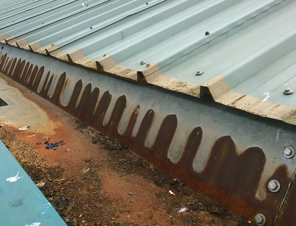
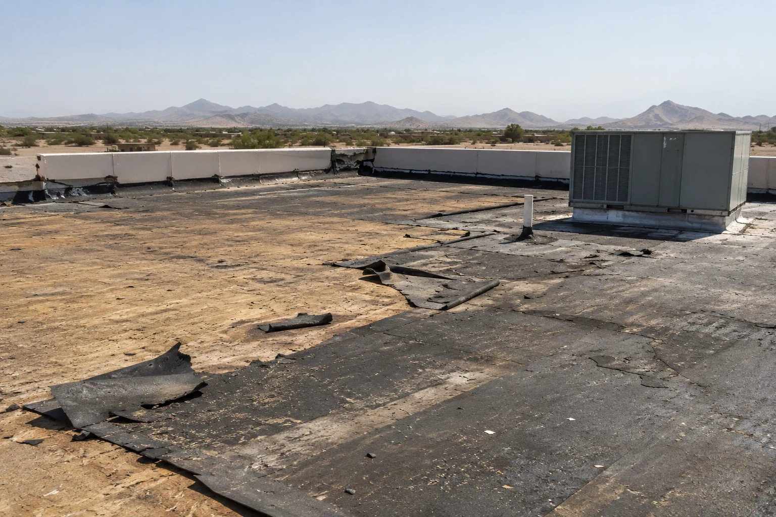
We review images for membrane displacement, open patches, standing water, debris, damaged edges, and changes around equipment. Broad views orient the roof; close views identify features for a hands-on check. We label sections and retain the original frame for comparison.
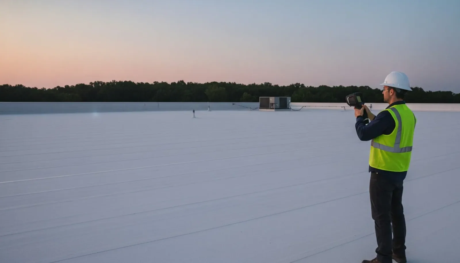
Color is not a moisture test. A dark area may be shadow, contamination, recent water, or a different coating. We compare images with drainage, interior observations, and assembly records. If moisture is suspected, an infrared moisture survey can map thermal patterns for later confirmation.
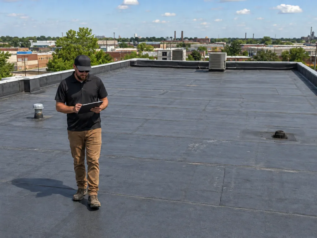
A unit can block a seam; a curb can hide its back flashing; a line may be shadow rather than a split. We mark uncertainty. A hands-on inspection checks the detail and records the condition that controls the repair.
Map Broad Roof Areas
For a multi-section roof, we label visible areas using hatches, equipment rows, joints, drains, and parapet corners. The report uses the same labels so the facility team can find conditions later. We note surfaces hidden by equipment or changes in roof height. When a roof is large enough that one frame loses useful detail, we keep a broad orientation image and separate closer views, each assigned to the same labeled area.
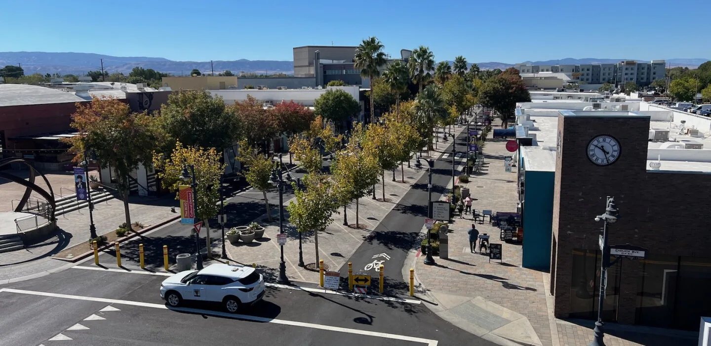
The Lancaster Business Park Specific Plan covers light production, wholesale activity, research, professional offices, and trade education. Aerial mapping can show equipment rows or perimeter details before a closer walk, helping the crew plan access around facility operations. We can flag areas where piping, conduit, or mechanical units narrow the route and where a roof hatch does not provide a direct view of a transition.
For multiple buildings, consistent dates and orientation improve comparison. Aerial photos do not predict roof life; we use them with field findings and maintenance history to identify what is visible and what needs confirmation. The labels also help a facility manager explain the same roof area to maintenance staff who were not present during the inspection. If we return after work, matching viewpoints make before-and-after review clearer.
Turn the Images into a Repair Boundary
The deliverable links a photo to a roof section and action. We separate visible concerns from confirmed defects and state which items need a walk, interior access, or testing. Displaced metal, an open termination, or broad surface damage gets a closer check before repair is proposed. For each follow-up, we identify who needs access, what evidence is still missing, and whether the next step is observation, testing, or a repair scope.
If imagery and interior reports point to active water, we can arrange emergency protection. A replacement assessment may fit when deterioration spans roof sections or testing finds widespread moisture. We document the evidence behind each recommendation so the owner can compare the options with building use and current records.
After repairs, updated images show the finished area beside nearby equipment and transitions. We pair the broad view with close photographs of seams, flashings, or edges. The record is useful when tied to field observations rather than stored alone.
Know What the Images Can and Cannot Settle
A drone provides orientation and visible surface evidence. It cannot show concealed insulation, establish adhesion, identify every puncture, or prove that water enters where a stain appears. We note limits and follow-up for unresolved areas; a hands-on inspection remains part of the evaluation when safe and practical.
The report includes labeled images, visible conditions, and recommended checks. Roof condition reporting can keep images with follow-up findings. Capital planning can organize confirmed work without treating an aerial image as a forecast.
Request drone imaging when size, equipment density, or access makes broad context useful. We will coordinate the site and explain which observations need closer inspection before the owner selects a repair scope.
Commercial Roofing Questions
Can drone images confirm that roof insulation is wet?
No. Aerial photographs show visible surface conditions, not concealed insulation. We can recommend infrared mapping and confirmation testing when the roof history or inspection points to possible hidden moisture.
Can a drone inspect a roof with many rooftop units?
It can help map broad areas and equipment clusters, but units may hide seams and curb flashings. We mark those obscured locations for a closer roof inspection rather than treating the aerial image as complete coverage.
What if wind or site activity prevents a useful flight?
We reschedule or use a safe alternate method when conditions limit control, visibility, or access. The report identifies the area that could not be viewed and the next inspection step.
Will the images tell us whether to repair or replace the roof?
Images can locate visible concerns and help direct field checks. The repair-versus-replacement decision also depends on the assembly, moisture, detail condition, repair history, and the scope confirmed on the roof.
Can aerial images be compared with a previous inspection?
Yes, when the views have consistent labels, orientation, and dates. We verify apparent changes in the field because light, shadow, debris, or camera position can make an unchanged area look different.